
|
|
|
|
Canada Water — Architecture & Industry (part II)
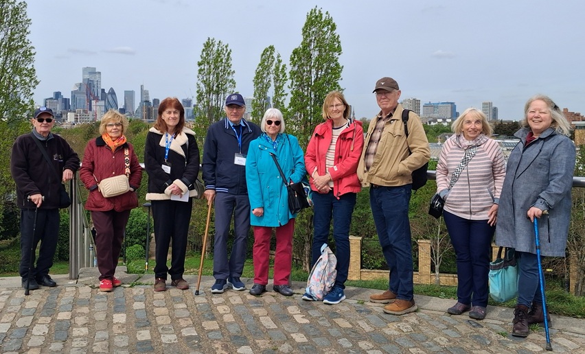
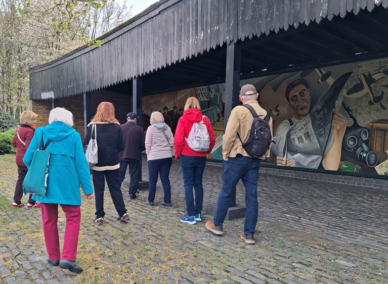
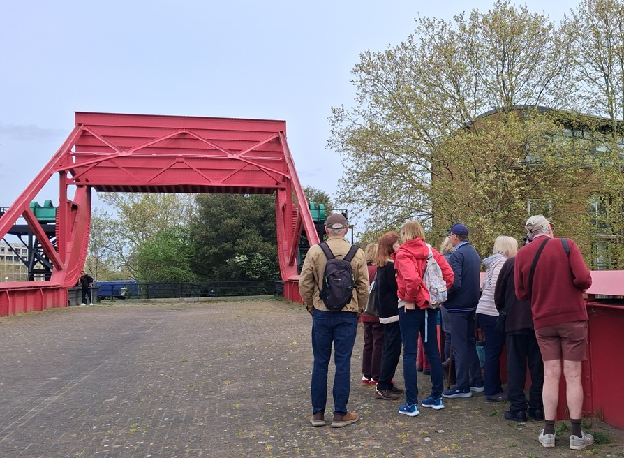
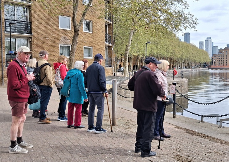
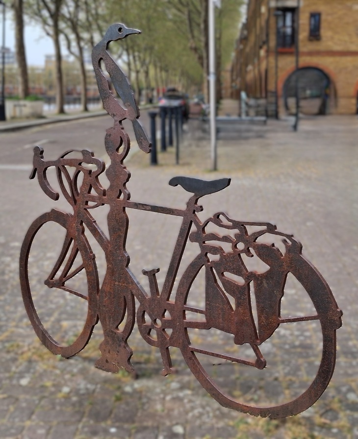
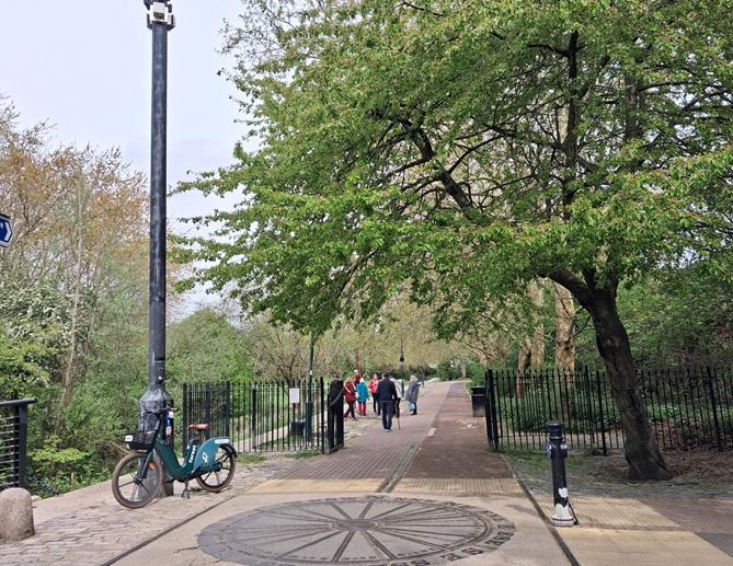
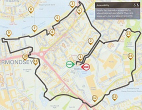
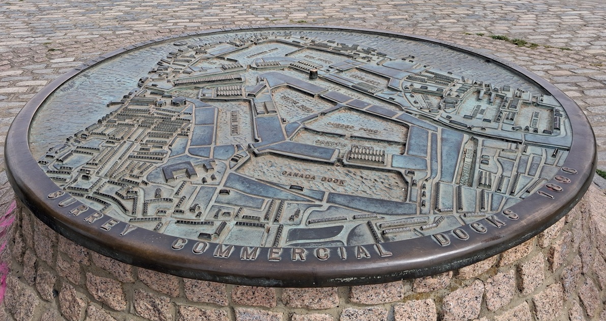
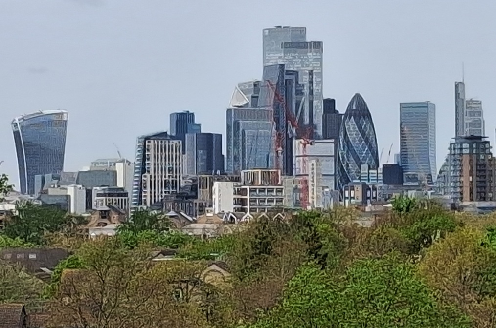
After meeting at Surrey Quays Station, we set off along Redriff Road, to view the replica Dockers' Shelter, its mural a memorial to the dock workers of the past, casual labourers who used to congregate in their hundreds, hoping to be hired for a day's work. We paused by the old Greenland Dock (originally a 17th Century haven for merchant ships) to see the remains of its bascule bridge which allowed access to Surrey Commercial Docks, and the sculptures of local boy, Michael Caine, Phyllis Pearsall (founder of the London A-Z) and a memorial to Barry Mason, a local cycling campaigner and birdwatcher — then continued on through the peaceful Russia Dock Woodland, created in 1981 in the former dock basin, with its preserved remnants of a former working life, and a compass set in the path, hinting at worldwide trade. As our walk neared its end, we climbed up Stave Hill (created with spoil from the Albion Channel when Canada Dock was infilled in the 1980s) for a photo opportunity (see above) — and to view the bronze relief map, designed to fill up with rain water, showing the docks as they were in 1896. From the top of the hill we could see the City on the north side of the river and just make out St Helen's Undershaft, under deconstruction (CLICK HERE to see the view of the City in more detail). We made our way back along the Albion Channel (last year verdant, but today dry and empty, undergoing "improvement") and ended our walk where we started last August, at Canada Water. |
| 
| 
| 
| 
|
|
Chris Hall Website Manager Chroydon Chronicle Aviva Fellowship Croydon Area |
|